Shiretoko to Wakkanai
Translated from the original Japanese journal.
Shiretoko to Wakkanai
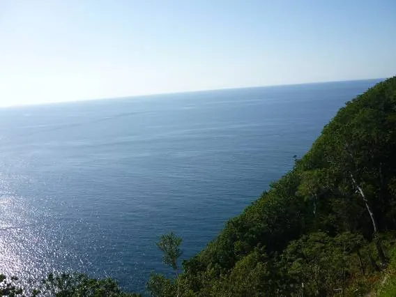
Riding from Shiretoko Pass down to the Utoro side. Out on the Sea of Okhotsk again.
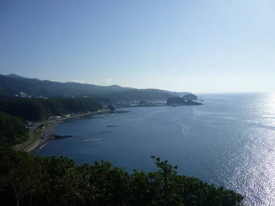
The coastline on the Utoro side. This whole area is already within the World Heritage site. In winter, drift ice is said to push in.
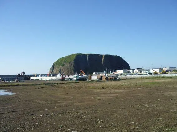
A huge rock called Oronko Rock in Utoro. You can climb to the top by the path on the left.
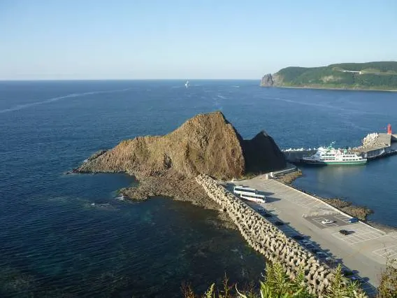
I climbed to the top of Oronko Rock. Maybe because of my recent lack of exercise, I ran out of breath. Doesn't this photo look like some kind of creature? It's been given the name Godzilla Rock.
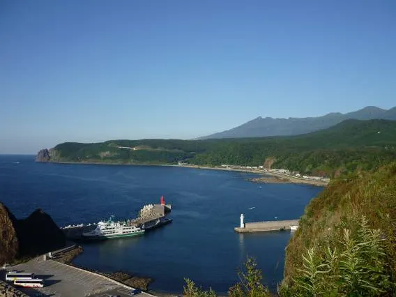
You can't see as far as the tip of Shiretoko. To see the tip you either take a sightseeing boat or walk. If you walk, bear precautions are a must.
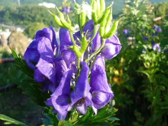
Monkshood growing wild at the top of Oronko Rock.
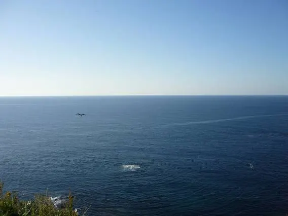
Is Godzilla going to come out!? I wondered, but nothing appeared... Still, it looks like something might be there.
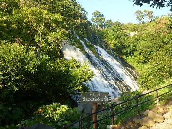
Oshinkoshin Falls. Not very big.
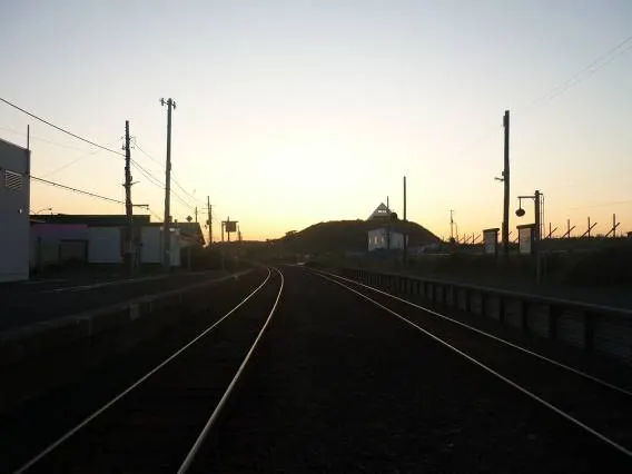
A roadside station near the town of Shari. It also has a railway station.
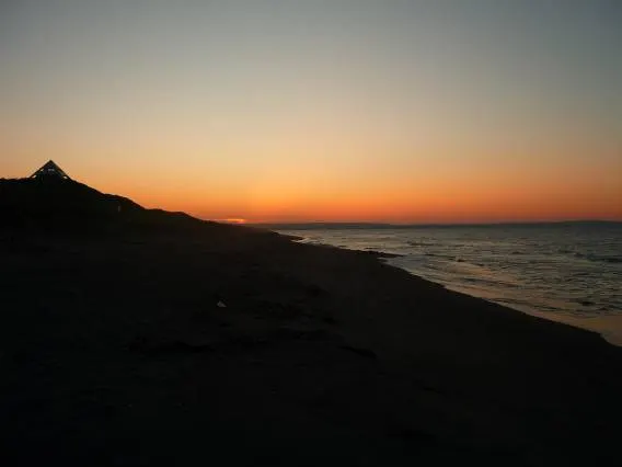
Sunset over the Okhotsk.
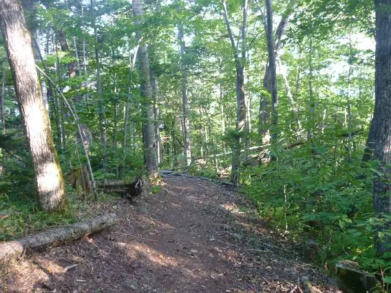
From the Lake Saroma roadside station I walked toward the observation deck. About 40 minutes of climbing. It was tough.
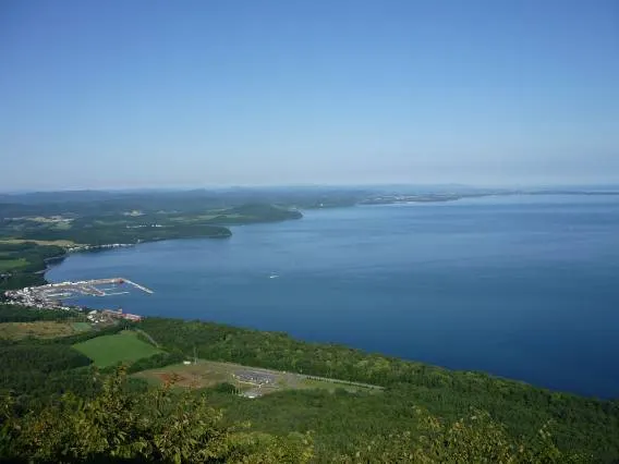
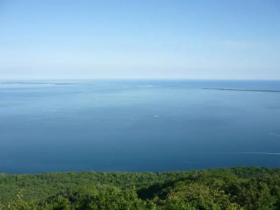
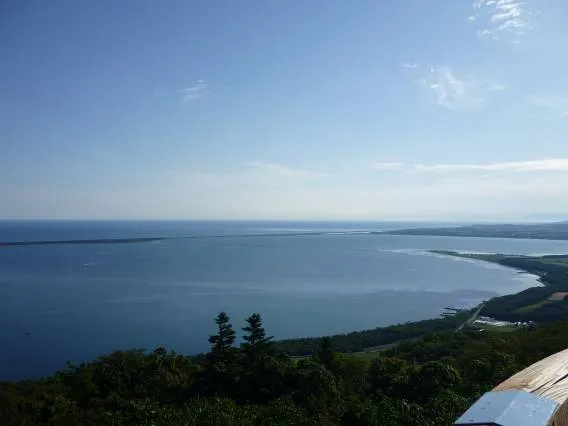
My efforts paid off and I reached the observation deck. A superb view spread out.
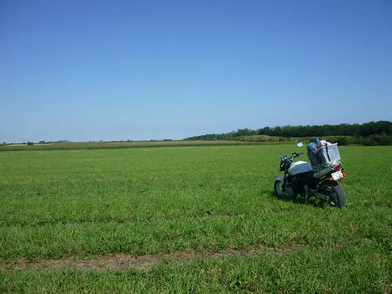
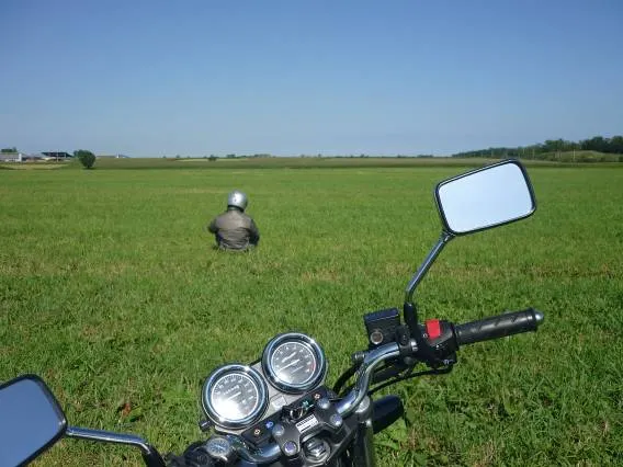
Pastures spread out around Monbetsu too. Travelling alone, I could only take lonely photos.
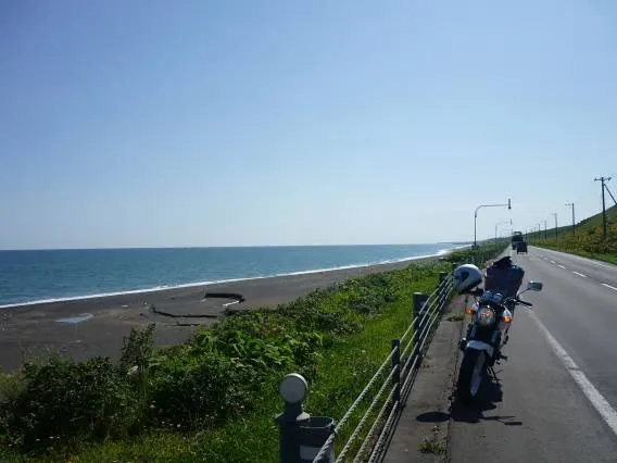
The Sea of Okhotsk was deep blue no matter how far I went. In winter it must be covered in drift ice. I'd like to see that.
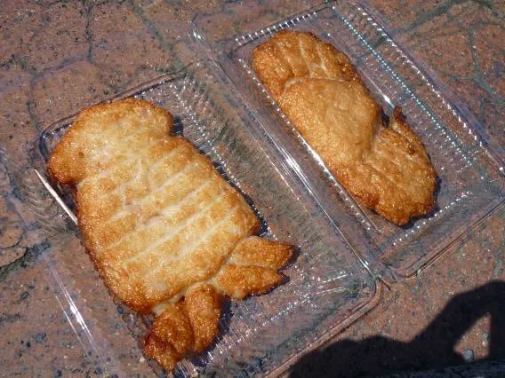
Squid tempura and crab tempura bought at the Oumu roadside station.
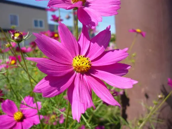
In Hokkaido, cosmos season comes a little early.
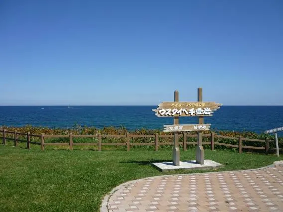
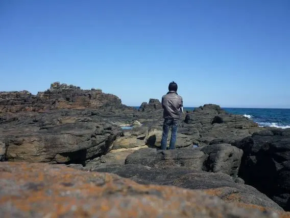
A rocky shore called Usutaibe Senjoiwa.
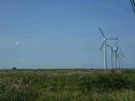
Grassland goes on forever.
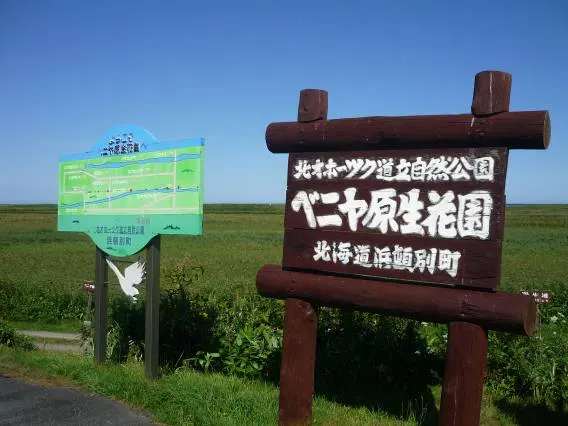
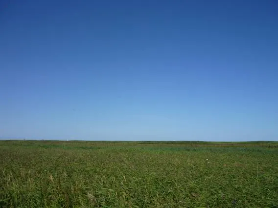
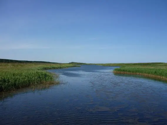
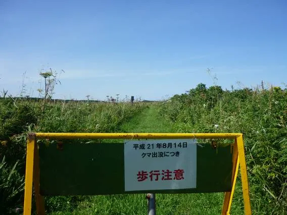
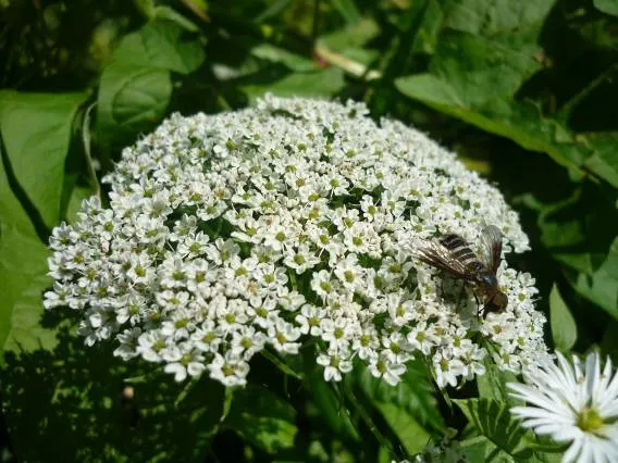
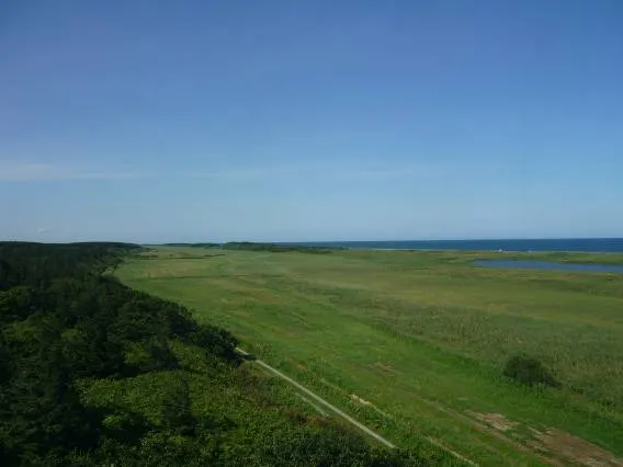
The beautiful Beniya wildflower garden. In northern Hokkaido, wildflower fields seem to spread out on the landward side of most sandy beaches. The peak of the flowering seemed to have passed, and there was a slightly lonely atmosphere. And along the way I found a sign warning that a bear had been sighted. If I ran into one suddenly in a place like this, that would be the end.
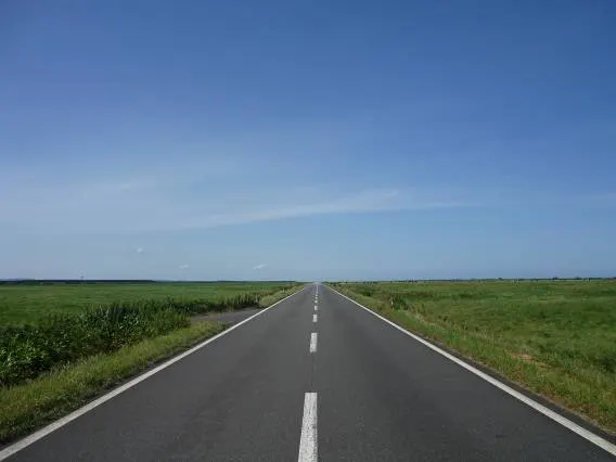
The Esanuka Line, a road I had long planned and dreamed of riding. There was almost no traffic, and it was as if the road melted into the sky. On both sides are wildflower fields and pastures.
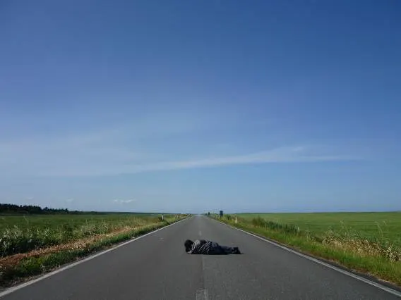
You can't help wanting to try something like this.
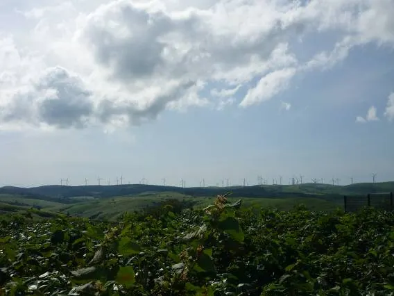
The wind farm spread across the Soya Hills. There are 54 turbines in total, which is amazing.
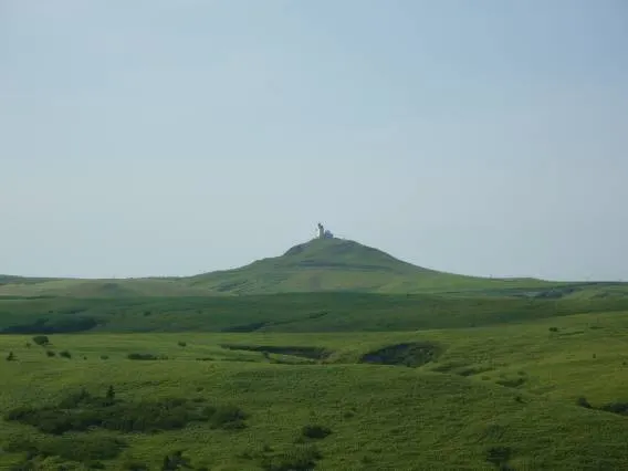
Is that the Cape Soya lighthouse? The hills are beautiful.
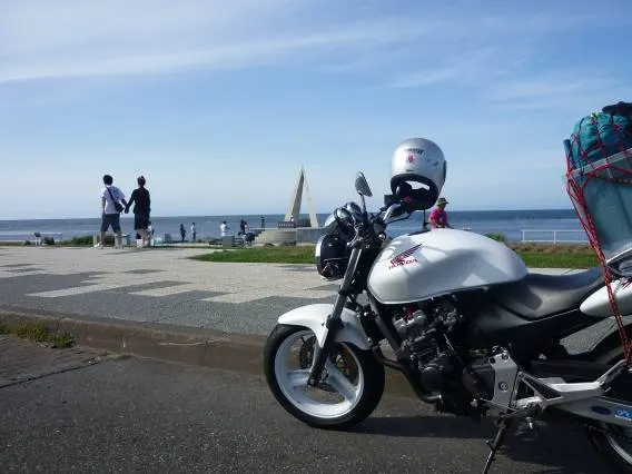
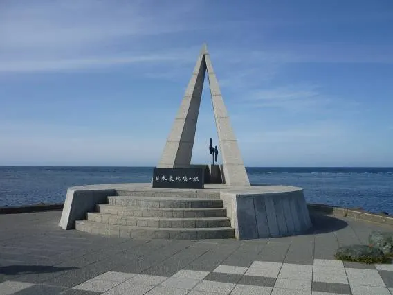
At last, I reached the northernmost point of Japan. 45 degrees north. I feel I've come a long way north, but further north still lie Sakhalin and the vast Arctic. For some reason I'm drawn enormously to the lands of the north. However cold it is, people live ordinary lives. It makes me feel how remarkable humans are.
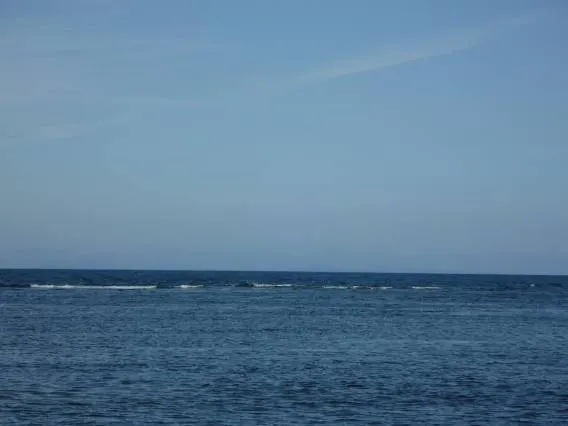
Looking north from Cape Soya. I could faintly make out the land of Sakhalin.
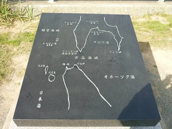
Long ago, American and Japanese forces apparently fought a naval battle in the Soya Strait.
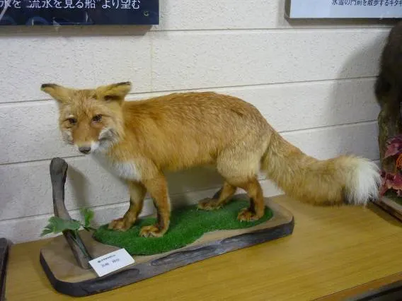
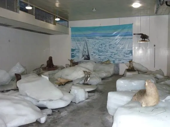
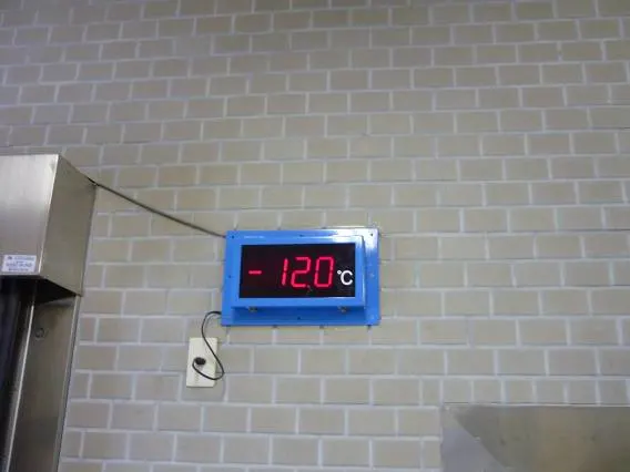
At Cape Soya there is a drift-ice museum with a freezer exhibition room at minus 12°C. Everything is stuffed.
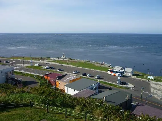
I walked a little way up the hill.
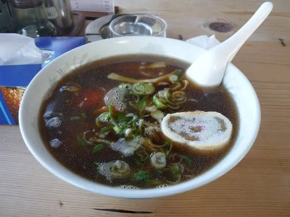
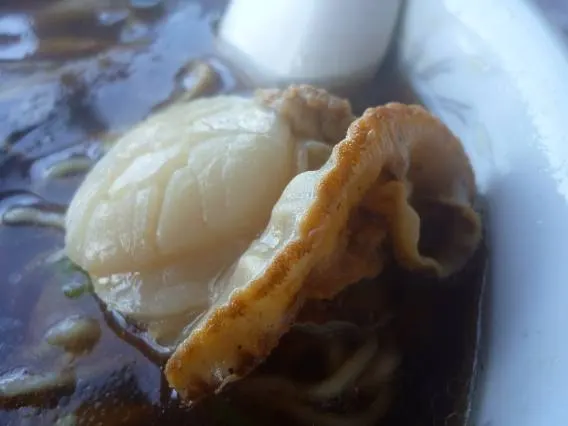
What I ate at the northernmost point was ramen. It had an enormous scallop in it.