Canada2010
Day 14 (17 Sep)
Dawson to Tombstone Territorial Park
Translated from the original Japanese journal.
Day 14 (17 Sep) — The Dempster Highway and the tundra
to Tombstone Territorial Park
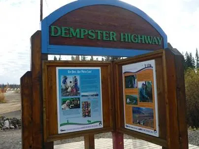
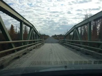
About 20 minutes' drive back from Dawson City toward Whitehorse is the junction with the Dempster Highway, which runs further north. The Dempster Highway, over 700 km long, is Canada's northernmost road. It ends at the town of Inuvik on the Arctic Ocean, close to 70° north, inside the Arctic Circle. The original final destination of the trip was Inuvik, but since we had changed plans several times and the distance was getting hard, we decided not to go to the end, but to drive as far as Tombstone Territorial Park along the way and come back. Today's destination was Tombstone Territorial Park, just over 100 km from the start of the Dempster Highway. A little past the junction, a bridge with a wooden deck marks the start of the Dempster Highway.
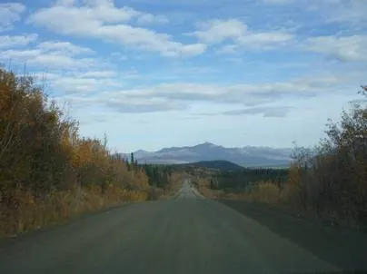
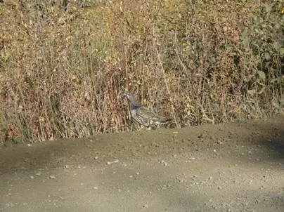
A few minutes from the start, the paving ends and the unpaved section begins. Apparently it stays unpaved all the way to the end. And before Inuvik you cross the Peel River and the Mackenzie River on free ferries in summer. In winter the rivers freeze completely, so you can drive on ice roads over them. On our last visit, we crossed the Mackenzie River ice road before Yellowknife. Along the way we saw several ptarmigans. We were driving at nearly 100 km/h, so if you spot one you have to slow down immediately or you might run it over. The ptarmigans have almost no wariness and don't run even when you approach. They had camouflage colouring that blends into the plants, like the ones you sometimes see in the Japanese Alps in summer. On our last visit in winter, these too were a beautiful pure white.
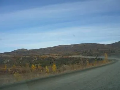
Continuing north for a while, we came into tundra where plants are sparse. From late August to early September, for a very short period, the ground here turns golden and red. It's called tundra foliage, and you can only see it in tundra regions. We had been hoping for this, but sadly it seemed we were a few days late this time. The peak had passed; we could see yellow and red here and there, but overall it looked brownish.
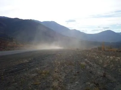
It's very dry, so the very occasional truck we passed kicked up huge clouds of dust.
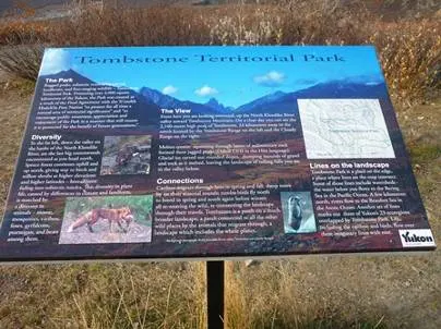
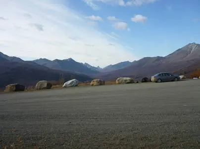
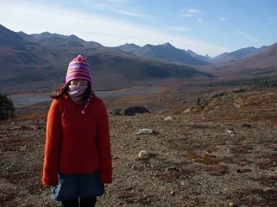
Tombstone Territorial Park. Trees can't grow there; it is truly one of the frontiers of the Earth, where only a very few living things are allowed to live: lichens such as mosses, and animals like caribou, musk oxen and lemmings that have adapted to the extreme cold. A few hundred kilometres north of here is the Arctic Circle, the region of the midnight sun in summer, when the sun doesn't set, and the polar night in winter, when the sun doesn't rise.
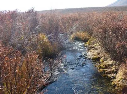
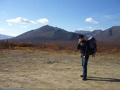
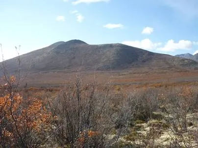
Faced with a view like this, you want to get even a little closer. We shouldered our packs and decided to aim for the top of the mountain at the back. I don't know its name. If there's a mountain, a wandervogel club member's instinct is to want to climb it. The ground was muddy, with streams flowing here and there. This is said to be the biggest bear habitat in Canada, so we had to be careful. We walked for a while, but the mountain never got any closer, and because of the time we gave up on the summit. How pathetic...
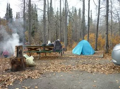
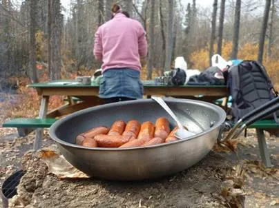
We decided to camp at an unmanned campground in the park. It was very cold, so to keep warm we gathered fallen wood and leaves to make a fire, and started cooking.
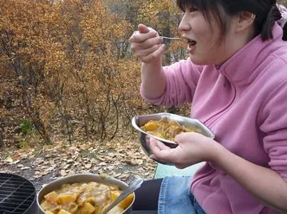
Today's menu was curry rice using ingredients bought at the supermarket in Whitehorse. Curry rice with that nostalgic Japanese taste was superb!
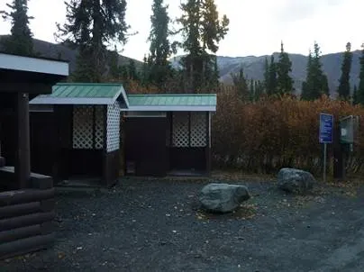
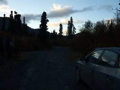
Even though it was unmanned, the toilets were maintained, and there was even a box for paying. We paid properly and registered. It's really something to be grateful for that they maintain a campground in a land that's cold even in summer. There was only one other group besides us. The sun was slow to set; only after 10 p.m. did night finally come to this land.