Hakodate to Sounkyo
Translated from the original Japanese journal.
Hakodate to Sounkyo
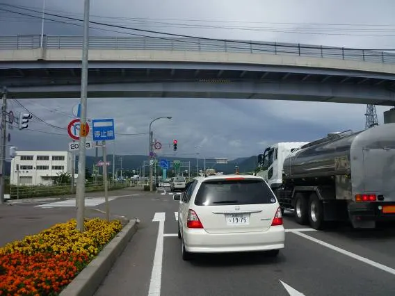
I said goodbye to Koji, who had looked after me, and left Hakodate. The clouds looked a bit threatening. And it was cold.
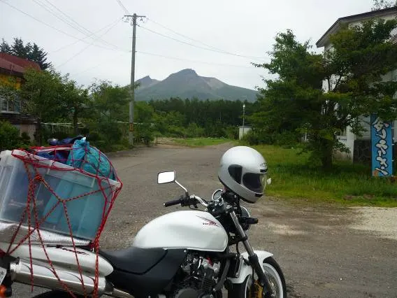
From the outskirts of Hakodate I rode straight along Route 5. Before reaching Uchiura Bay, Mt. Komagatake came into view.
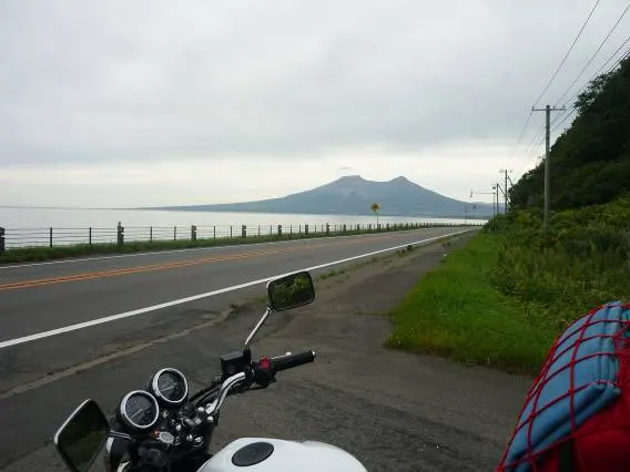
Looking back at Komagatake from Uchiura Bay. It seems to be a standalone volcano.
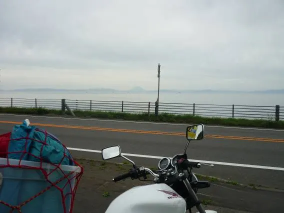
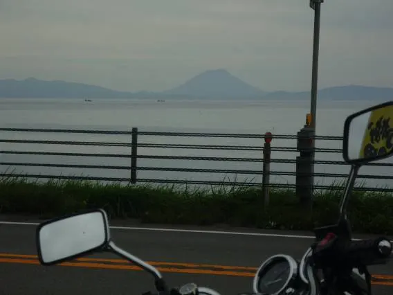
Further on, I spotted Mt. Yotei far in the distance. Its shape is exactly like Mt. Fuji.
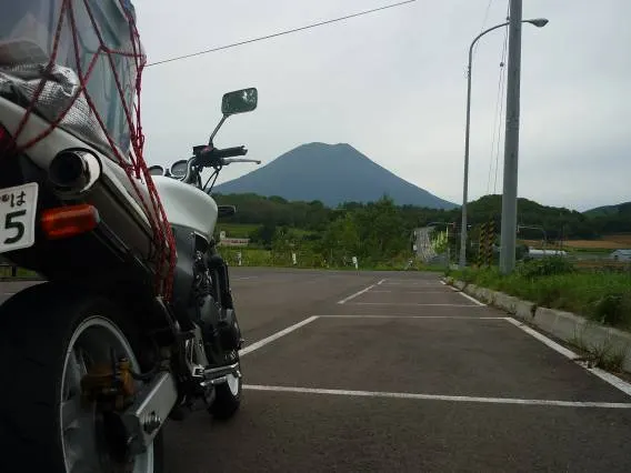
Riding on along Route 5, I reached the foot of Mt. Yotei. The shape is like Fuji, but it differs in being covered in forest almost to the summit.
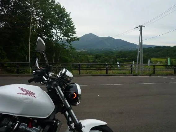
Across from Yotei are the Niseko mountains. These have been completely developed into ski resorts. I'd like to come back in winter and ski them.
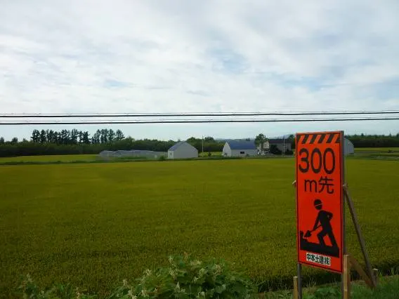
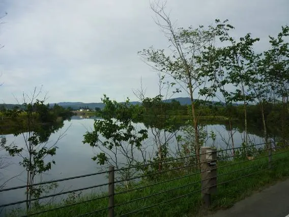
I skipped the Sapporo area by expressway. Looking out over farmland near Iwamizawa. Plains spread out around here and the scenery is mostly farmland. Towns are scattered about, so it doesn't feel like untouched nature, but there's little in the way, so I could still fully feel how vast Hokkaido is.
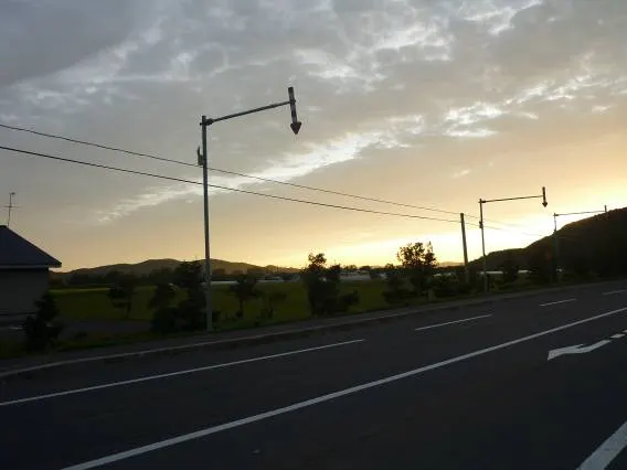
Past Asahikawa, I looked back and the sun was about to set.
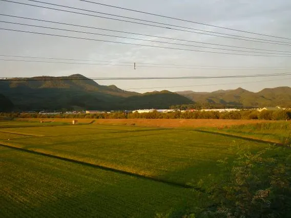
Farmland glowing in the sunset.
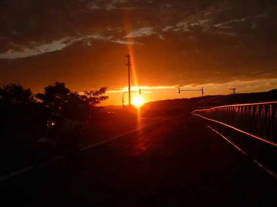
The sunset was beautiful. It hinted at a fine day tomorrow.
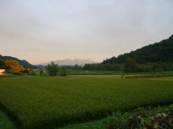
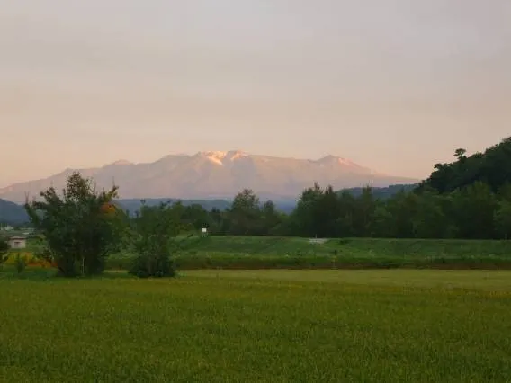
Looking at the Daisetsuzan range, faintly tinged by the sunset. Near the summits there is snow and ice. Could the highest peak on the far right of the photo be Tomuraushi? In summer 2009 there were a series of mountaineering accidents around this area. It's a deep range full of appeal, but that also means its nature is harsh.
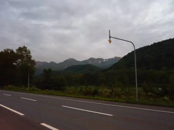
Looking at Daisetsu from just before Sounkyo. Could that be part of Mt. Kurodake?