Departure to Oma (Aomori)
Translated from the original Japanese journal.
Departure to Oma (Aomori)
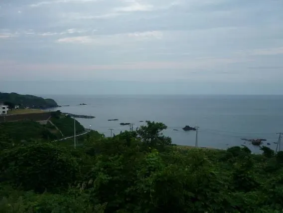
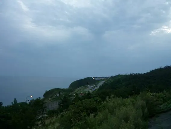
From Nagoya IC I rode on and on along the expressways. Around Myoko I was caught in the rain. When it rains on the expressway it's hard, because you have to keep riding in it until the next service area. The view of the sea from Yoneyama SA on the Hokuriku Expressway. They say you can see Sado Island from here, but I couldn't make out anything like it.
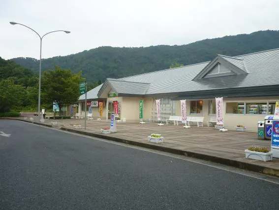
A short break at Agano SA on the Ban-etsu Expressway. It seems to have rained a little.
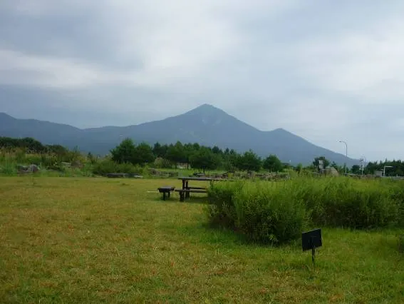
Looking at Mt. Bandai, famous in Tohoku. It has been completely developed into a ski resort. Once you reach Tohoku the feeling isn't one of mountain ranges in a row like in Shinshu; most of the mountains are relatively gentle. The views are open and there are few houses, so there's a relaxed atmosphere. Time seemed to flow slowly.
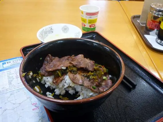
A beef-tongue rice bowl at Kunimi SA. I'd had it before when I came skiing at Zao, and it was still delicious.
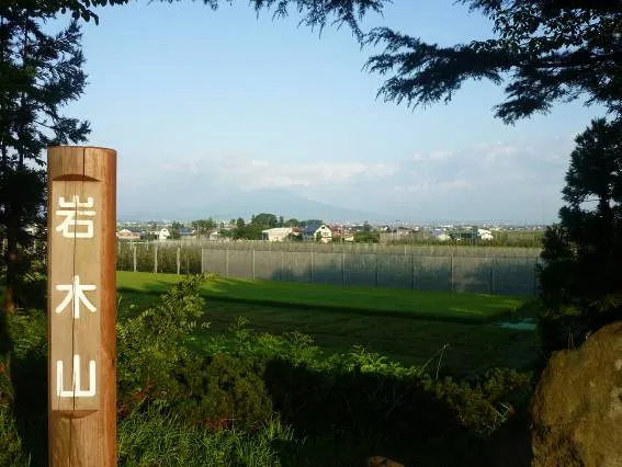
Looking at Mt. Iwaki, the "Fuji of Tsugaru", from Tsugaru SA. After so much rain, I hoped it would be sunny from now on.
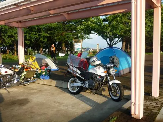
At a service area. It rained all night, but no water got in. Still, my clothes were soaked through so I hardly slept. There were others with the same idea.
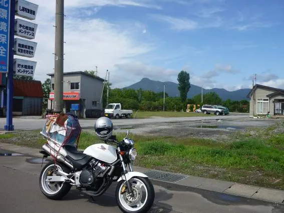
Looking at the sacred mountain of Osorezan from the city of Aomori. From here I headed for the area near the summit.
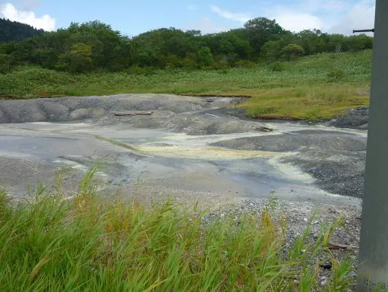
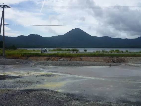
Near the top of Osorezan. Sulphur was spouting everywhere and the smell of rotten eggs hung in the air. Even the river had turned yellow. This area is apparently famous for itako (spirit mediums), and there were old houses lined up with itako signs out front.
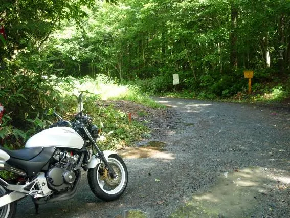
I planned to go from near the summit through to Oma, but partway the road turned to dirt. I'd assumed it would be paved all the way, which was naive. The Hornet got completely covered in mud.
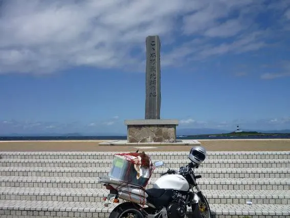
I reached the northern tip of Honshu. Offshore, Hokkaido was faintly visible. About 1,400 km since leaving Nagoya. Finally, it was time to land on Hokkaido.