Day 6
Driving western Canada
Translated from the original Japanese journal.
□ Day 6 (17 Feb) Squamish → Jasper
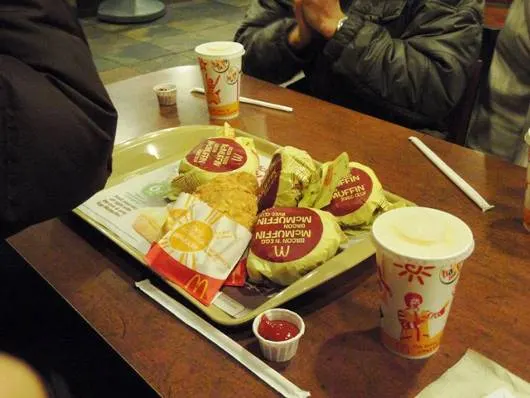
At last the time came to leave our familiar lodging in Squamish. After five nights, leaving felt a little sad. We didn't have much time today, so breakfast was McDonald's. When Naoto ordered an Egg McMuffin set, sets for all four of us arrived. McDonald's seemed much the same as in Japan in size and taste.
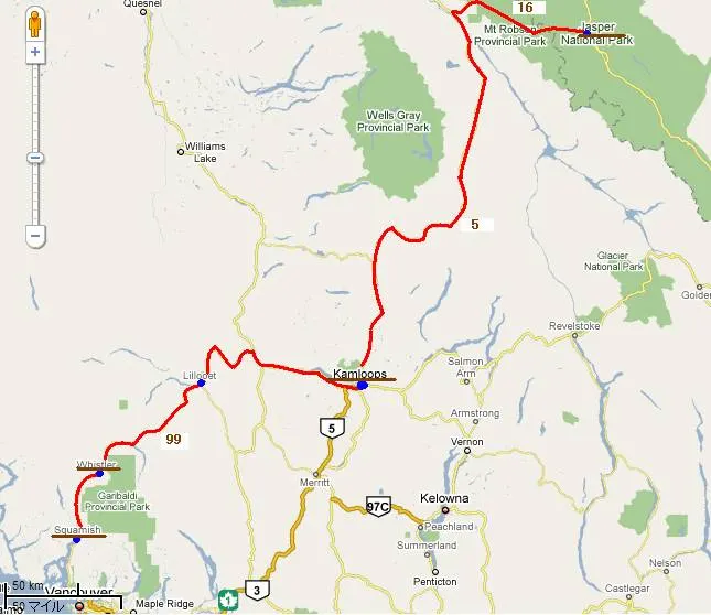
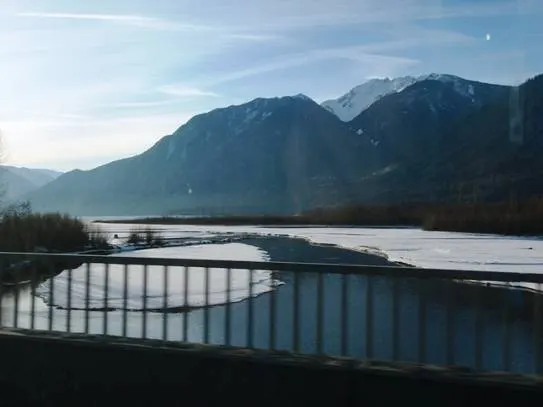
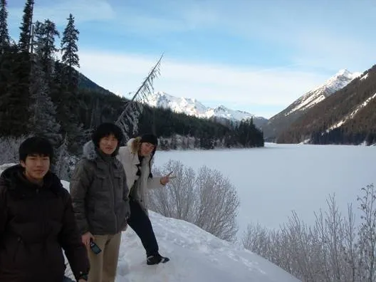
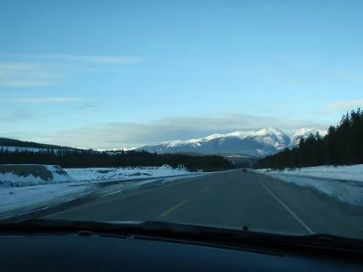
From Squamish we drove north along Highway 99, past Whistler. The snowy mountains in the morning sun were beautiful. From here the road was new to us. After Pemberton, a village with many ranches, the road narrowed, the surface got worse and it became a twisting mountain road. The rivers were frozen, covered in snow and pure white. Even so, the snow had been properly cleared from the road. But signs saying "Avalanche Area" stood here and there, and slopes that looked ready to shed rocks at any moment towered over the roadside with no protection at all. Driving through these wild mountains, we came across a beautiful, completely frozen lake. The rime ice around it was superb too. We stopped here for photos. The thermometer showed −15 °C.
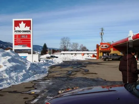
Coming down the tough mountain road, which had hairpin bends too, we came out at the town of Lillooet. There was less snow around here. Lillooet is where the river has eroded the reddish-brown bedrock into a large, deep valley. From here the road follows gentle hills on the river terraces along the valley. Cattle and horses grazed here and there, and vast snow-covered farms appeared, but they were concentrated around the settlements. Between settlements, tens of kilometres apart, untouched wilderness stretched on with nothing but the road. We stopped to refuel at a station in the town of Cache Creek. Canadian petrol stations always have a shop like a convenience store, and you pay for fuel at its counter.
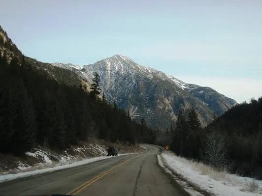
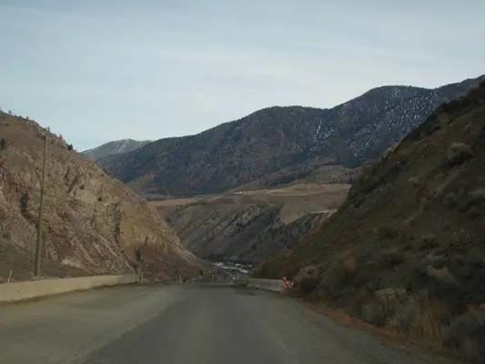
From Cache Creek we joined Highway 1, the "Trans-Canada Highway" that crosses the continent from east to west. From here it's a fast road with a 100 km/h limit. Using the Grand Cherokee's cruise control, we left the speed to the car. We drove on and on, alternating between snow-covered wilderness and small settlements, and when a big river called the Thompson River came into view, the city of Kamloops was near.
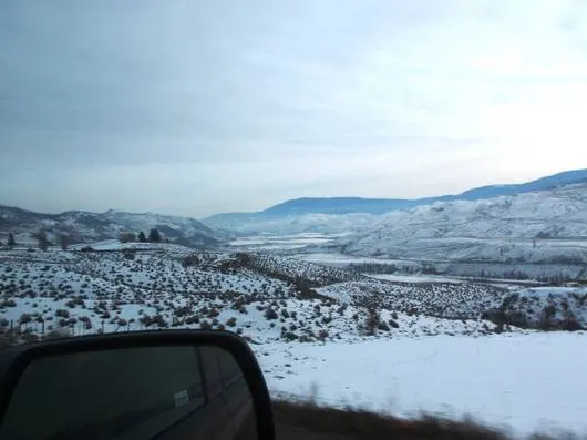
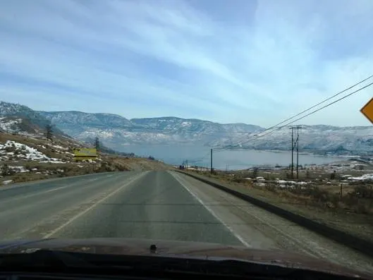
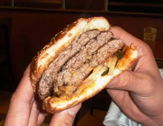
Kamloops is one of the larger towns in British Columbia. We thought we'd have lunch there... but Highway 1 bypasses the town without going in. We carried straight on onto Highway 5, the Yellowhead Highway, which continues to today's destination, Jasper. Checking the map, there weren't many towns ahead that looked likely to have restaurants. We often passed settlements on the map with fewer than 500 people without even noticing. Just as we were getting really hungry, we found a burger shop called A&W in a town called Clearwater! A&W seems to be a very major fast-food chain in Canada. The burgers have family names like "Mama Burger" and "Uncle Burger". The Uncle Burger has a thick sirloin patty and is very filling. We reckoned it was bigger than McDonald's too. Shinoda's "Grandpa Burger" was three thick patties stacked up. One was more than enough at Canadian portions.
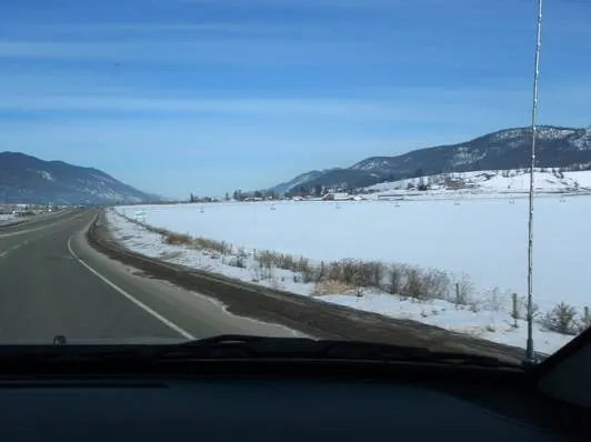
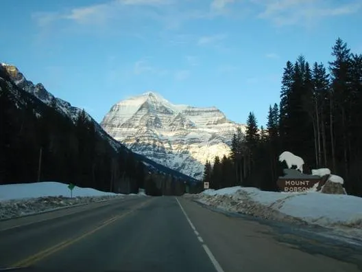
We continued along Highway 5, looking at beautiful mountains designated as a provincial park. It had been cloudy for a while, but gradually the sun came out and the snowy mountains began to shine. By the time we'd driven all this way it was already evening. The Yellowhead Highway changes from Highway 5 to Highway 16. From here is Mount Robson Provincial Park. Ahead of the road, Mt. Robson, the highest peak in the Canadian Rockies at 3,954 m, came into view, towering majestically. It is triangular, with distinctive horizontal stripes of snow and rock. And then, at last, we crossed the Rockies. Crossing the long Rocky Mountains, we had imagined a steep mountain road. But the speed limit stayed at 90–100 km/h. Almost flat, straight road continued all the way. Just as we were thinking something was odd, we crossed the Yellowhead Pass and a sign marking the Alberta border appeared. Crossing the Rockies was so easy it was an anticlimax. There was no snow on the road either, though we had been wondering whether our all-season tyres would be OK.
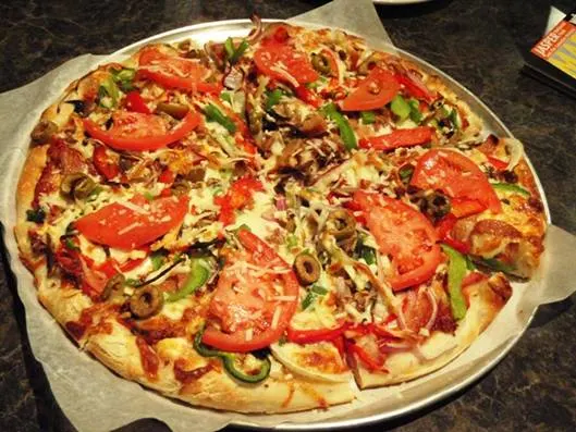
By the time we reached the town of Jasper it was already dark. In the quiet, deserted forest of Jasper National Park, it was a relief to see the lights of the town. After refuelling, we went to look for tonight's lodging, Jasper International Hostel. But when we went to the place we had looked up, there was no hostel. When we asked a local, they said it was out of town at the foot of the mountains to the south. Checking the map again, it was certainly there. But it was far from here, so we decided to have dinner first. We went into a nearby pizza place and ordered one 12-inch pizza for all of us. Freshly baked and loaded with toppings, it was delicious.
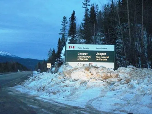
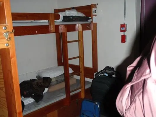
Leaving town and heading south up a pitch-dark mountain road, we finally found the hostel and checked in. As a youth hostel, the bedroom was just a big room lined with bunk beds. And the beds didn't even have curtains. As it was winter there were few other guests, but in summer it's apparently popular and fills up with bookings quickly. You couldn't relax in a place like this, and we worried about our luggage too. So we went into Jasper again. We drove around the little town, decorated with snow and illuminations. There were a great many hotels. But it was late, so most shops were closed. After enjoying the atmosphere of Jasper, we went into a convenience-type shop that was still open, bought snacks and tomorrow's breakfast, and went back to the hostel.